- 简体中文
- English
.jpg)
Design Scheme for the South-to-North Water Diversion Ecological Park
- 商品
- 详情
产品详情
Design Scheme for the South-to-North Water Diversion Ecological Park
The Middle Route Project of the South-to-North Water Diversion Project is a key national project. The main canal is 1,277 kilometers long, with 731 kilometers in Henan Province and 128.8 kilometers in Zhengzhou City. The starting point is Yingli Village, Guanyinsi Town, Xinzheng City, and the end point is at the entrance of the tunnel of the Yellow River Crossing Project. It passes through 7 counties (cities and districts) including Xinzheng City, Aviation Port Area, Guancheng District, Erqi District, Zhongyuan District, High-tech Zone and Xingyang City.
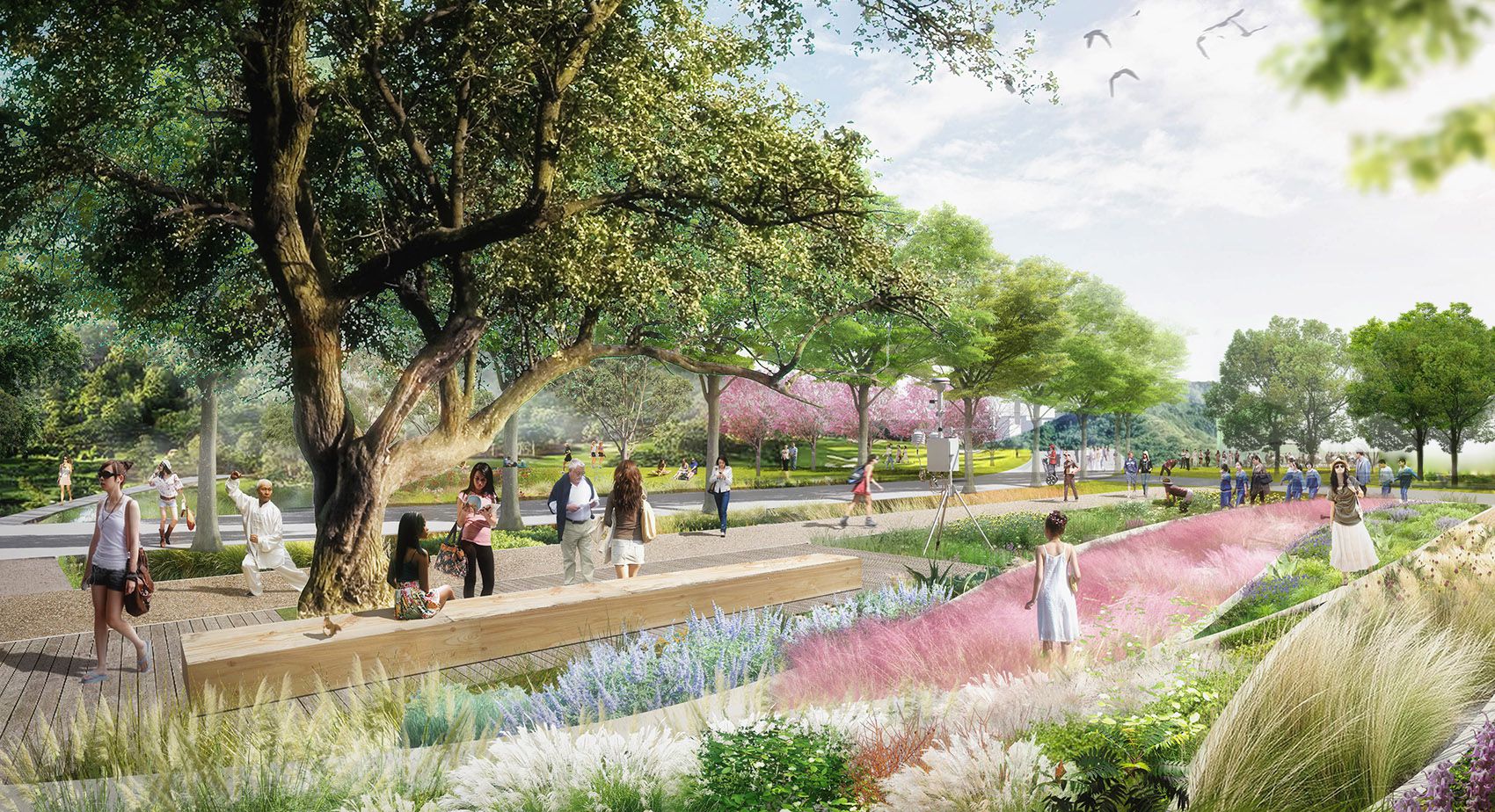
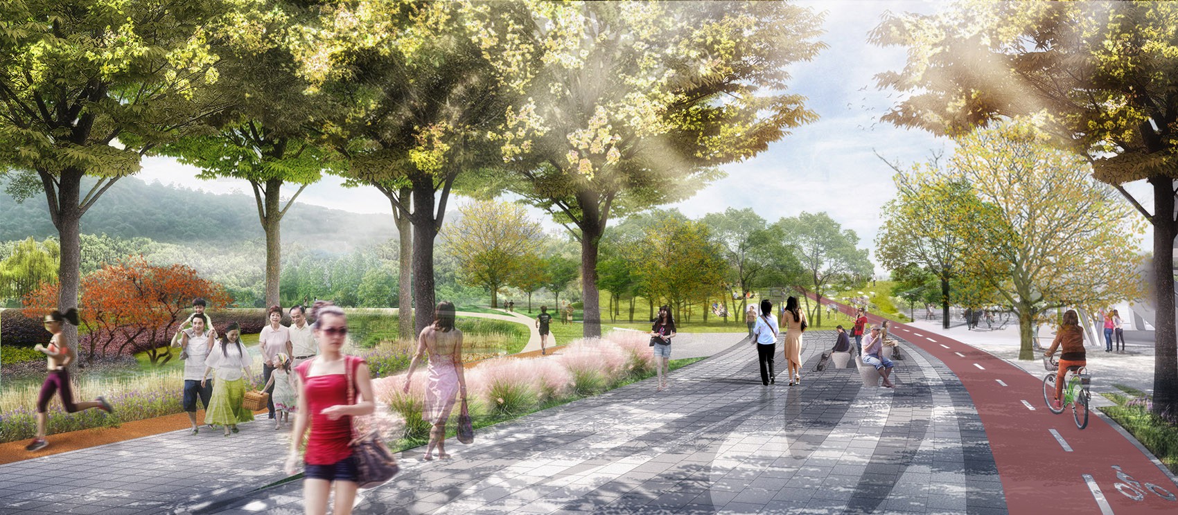
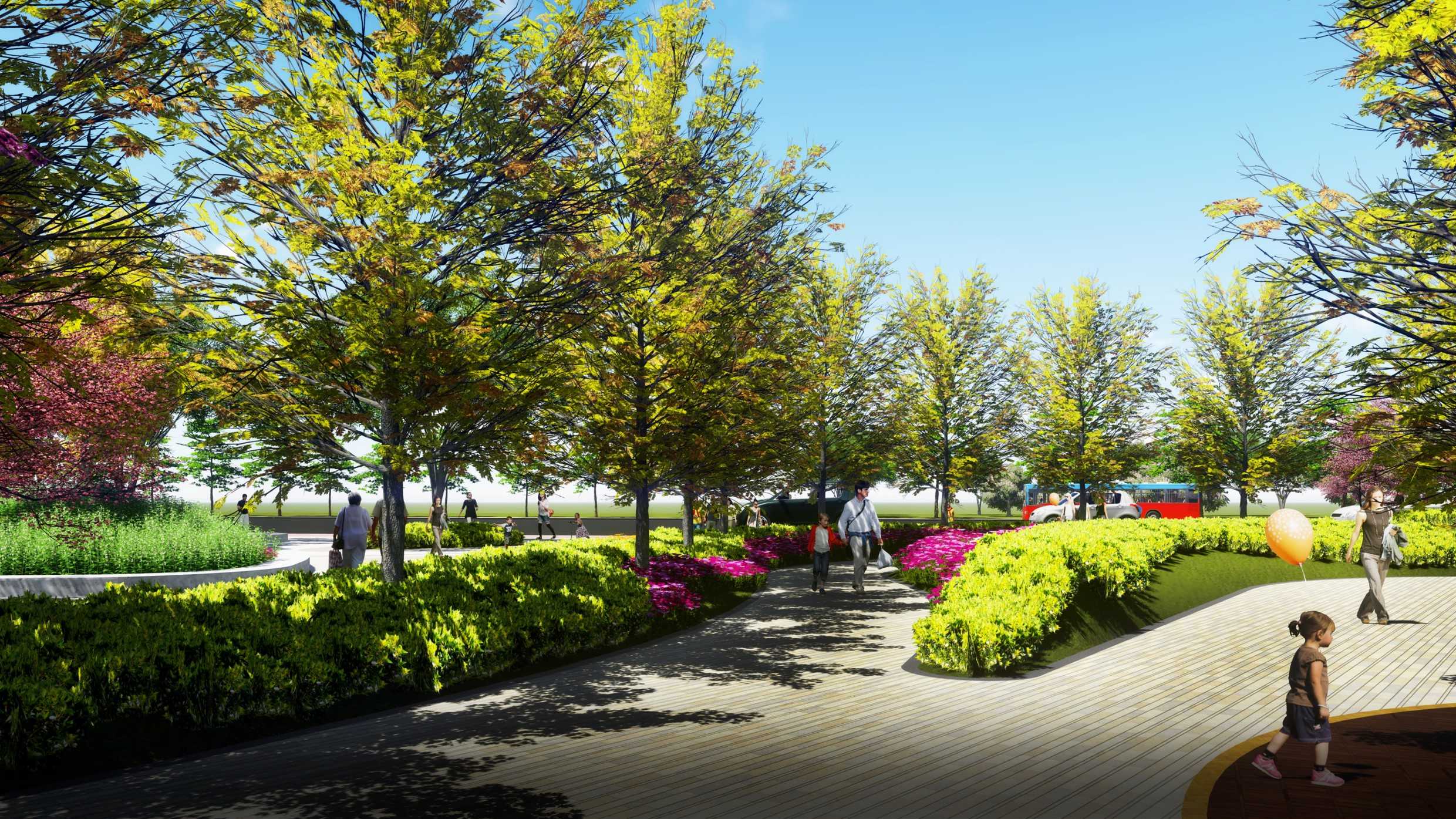
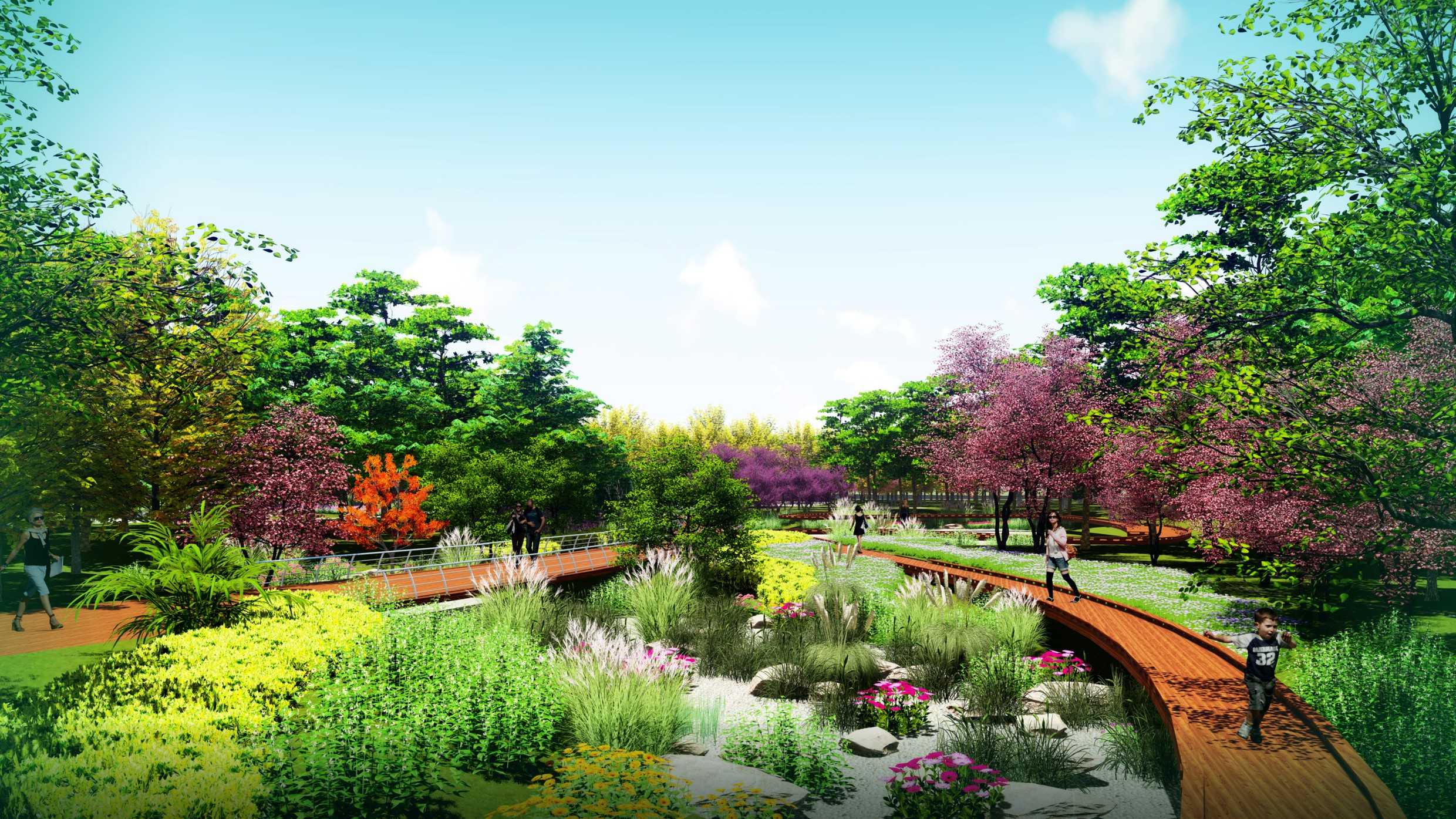
The ecological corridor of the South-to-North Water Diversion Project is divided into two parts: the ecological and cultural park (urban section) and the protective green corridor (suburban section). The planned construction length of the ecological and cultural park in the urban area is 61.7 kilometers, including 32.7 kilometers in the urban area of Zhengzhou (700 meters in the High-tech Zone, 14.7 kilometers in Zhongyuan District, 7.0 kilometers in Erqi District, and 10.9 kilometers in Guancheng District) and 29 kilometers in the Airport area. The park is planned within a 200-meter range outside the protective nets on both sides of the main canal, covering a total area of 24.68 square kilometers.
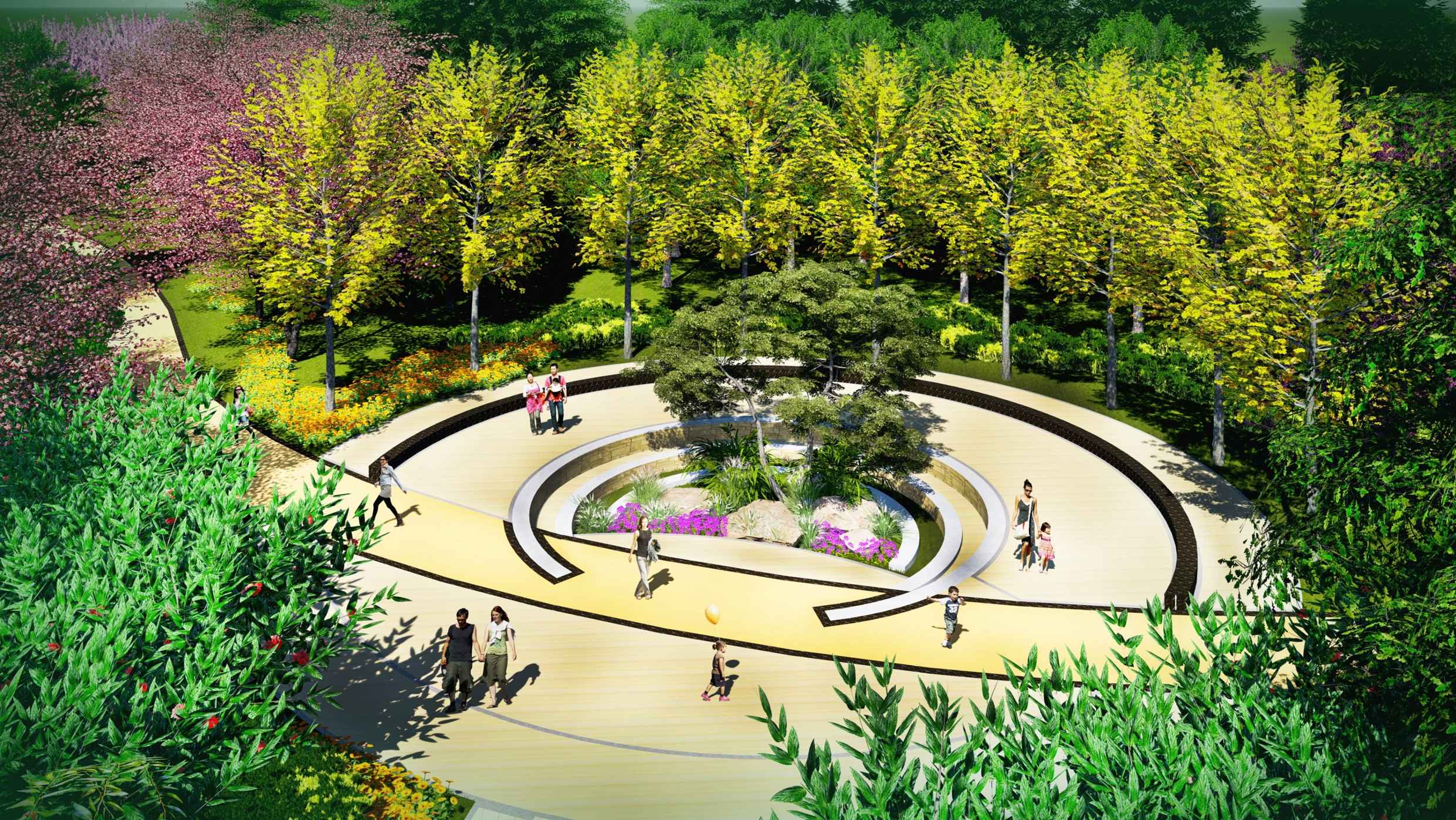
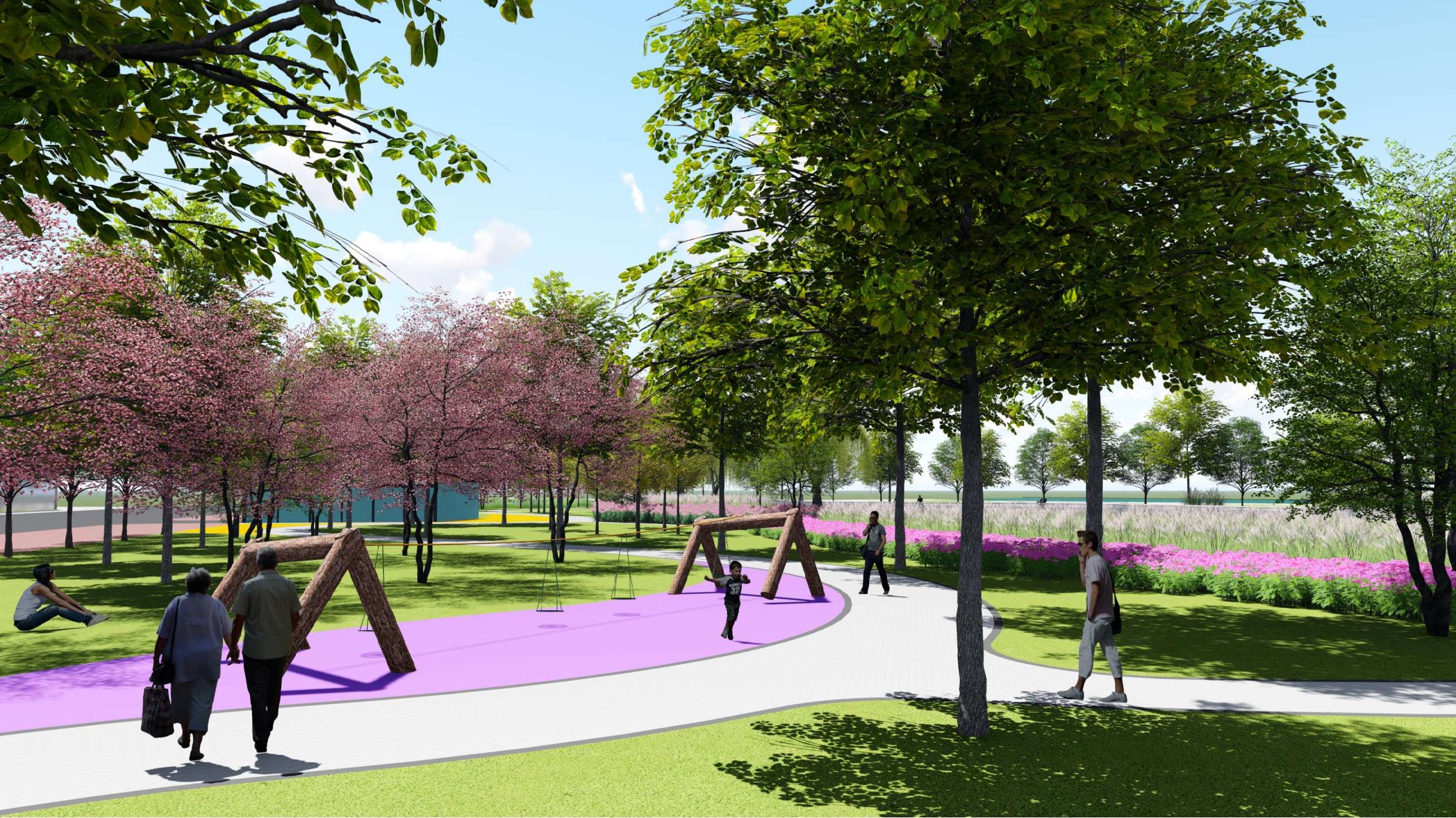
The South-to-North Water Diversion Ecological and Cultural Park is a scenic corridor that integrates ecological conservation, cultural inheritance, and leisure and recreation, showcasing the charm of Central Plains. The entire section displays Zhengzhou's water culture, garden culture, historical and cultural heritage, modern technological culture, and agricultural culture. In terms of landscape design, it follows the functional overall layout of "one water, two belts, five sections, and multiple parks", forming a "forest and water reflecting each other" pattern. The landscape structure of "green stems and blooming flowers".